 Bearlywild
Cycling · Gravel
Sea-to-Sky Gravel Trail from Chance Creek to Whistler Village
June 24, 2026
I woke up on a Wednesday with a free day and no plan, and remembered the Sea-to-Sky Trail I'd had on my list for a couple of years — a gravel route that shadows the highway corridor from Squamish to Whistler. I only had time for the northern half, Chance Creek to Whistler Village and back, so that became the mission. Getting to the trailhead means a tricky left turn off the Sea-to-Sky Highway just past Squamish — easy to miss if you're not watching for it. I left home around 8 a.m. and was unloading the bike in the parking area by 10:15.
Permits & access
No permit or day-use fee needed at the Chance Creek trailhead, as far as I know — it's open public parking, no restrictions.
The route
The first leg is hilly right from the start — steep, punchy climbs on forested singletrack, the kind of grinding up-and-down you'd expect from a mountain bike trail more than a gravel one. Signage on the trail is good throughout. I crossed a dam early on, then kept working through a few bridge and creek crossings and one railway crossing, which was straightforward.
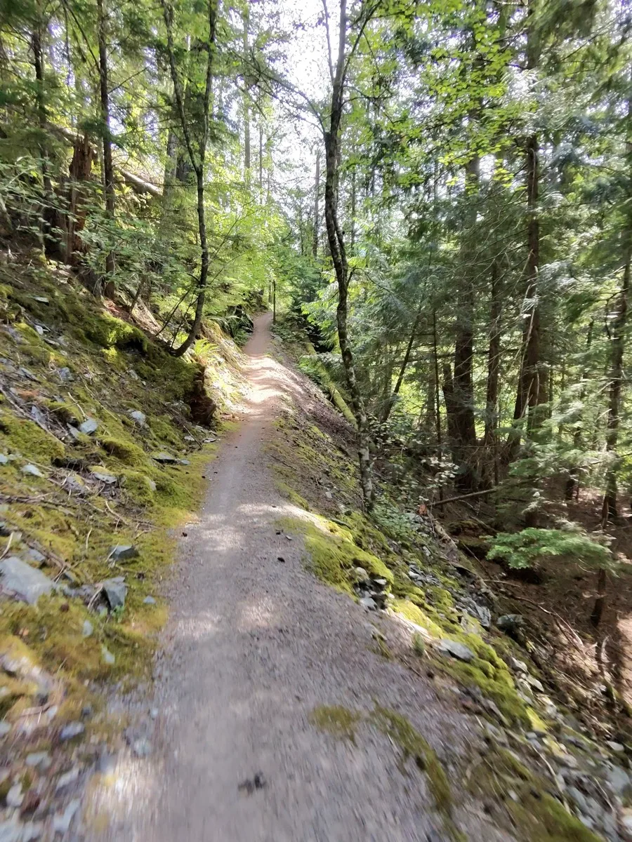
After that comes the trail's one genuinely technical section: a stretch of large, loose rock that's very hard to actually ride. I dismounted and pushed the bike up a steep, loose, root-covered section rather than fight it. Past that it's back to loose gravel and pebbles — nothing dangerous, but worth being deliberate with your line.
The trail then spits you out onto the Sea-to-Sky Highway shoulder for 3-4 km. This was the low point of the ride from a traffic perspective — cars passing close at speed — though there's a lake visible through the trees on the right that's worth glancing at when it's safe to.
Brandywine Falls to Whistler Village
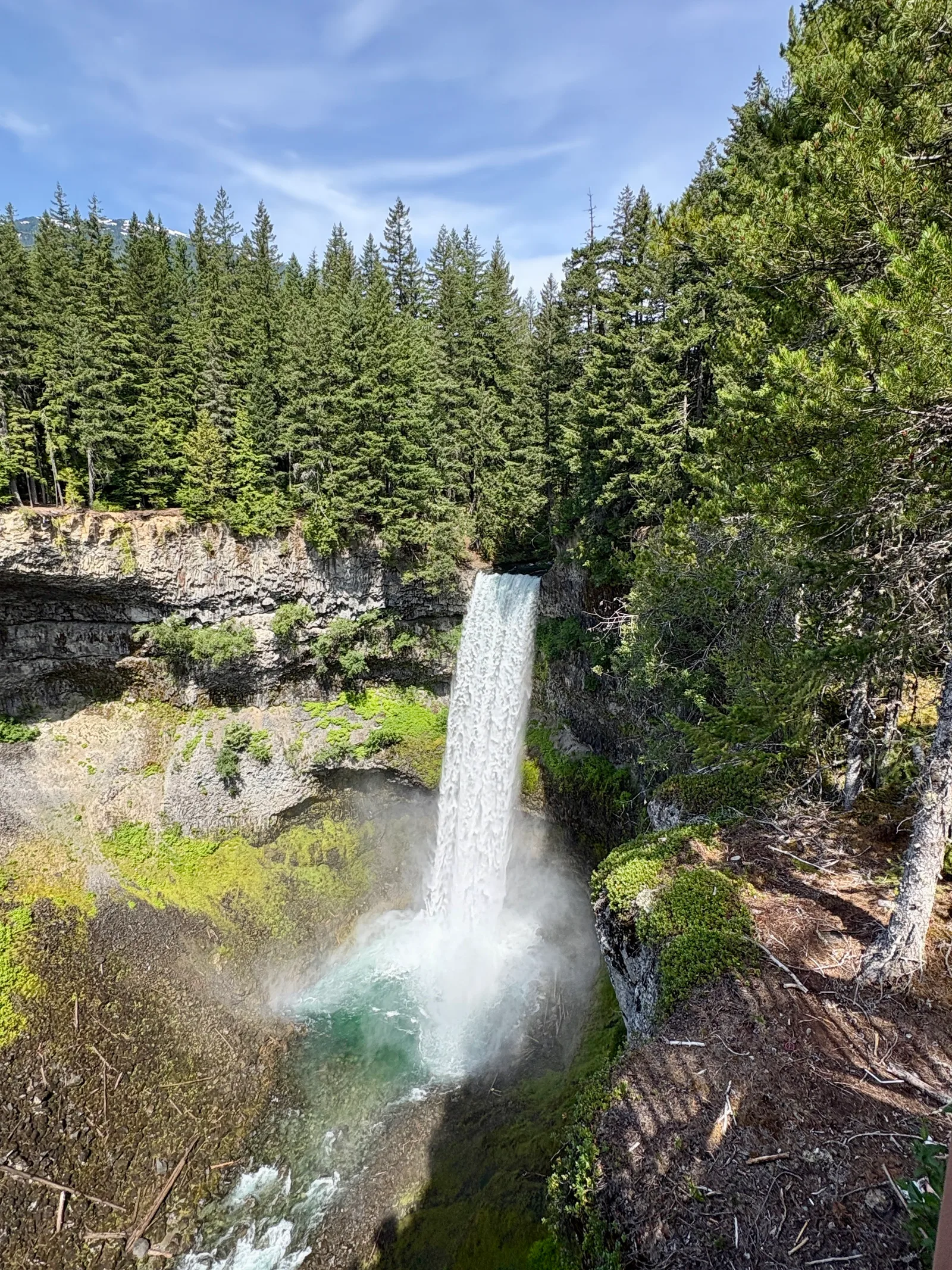
Right at the end of the highway section is the best part of the whole route: Brandywine Falls, a massive, thundering waterfall with the snow-covered mountain range behind it. Being a Wednesday, there were barely any other visitors around. I spent about 10 minutes just taking it in and getting photos before heading back onto the trail.
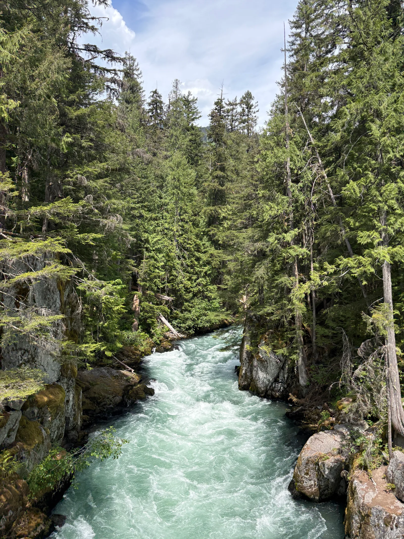
From there it's back to grinding up gravel climbs until a substantial bridge — a bungee-jumping site, though nobody was jumping when I came through — that crosses a creek with a rushing river visible below and Black Tusk in view. I stopped for pictures there too.
Past the bridge, the trail goes back into forest with a lot more ups and downs, and a few stretches of narrow singletrack with nothing on either side — the kind of section where you don't want to wash out. It gets more physically demanding here too: steep, punchy climbs that had me on the smallest ring of my drivetrain almost the whole way.
Eventually the trail passes a wrecked train scattered through the forest in several pieces — a genuinely popular stop, so there were other people around and I slowed down accordingly. There's a small suspension bridge just before it that bounces as you ride across, which was fun.
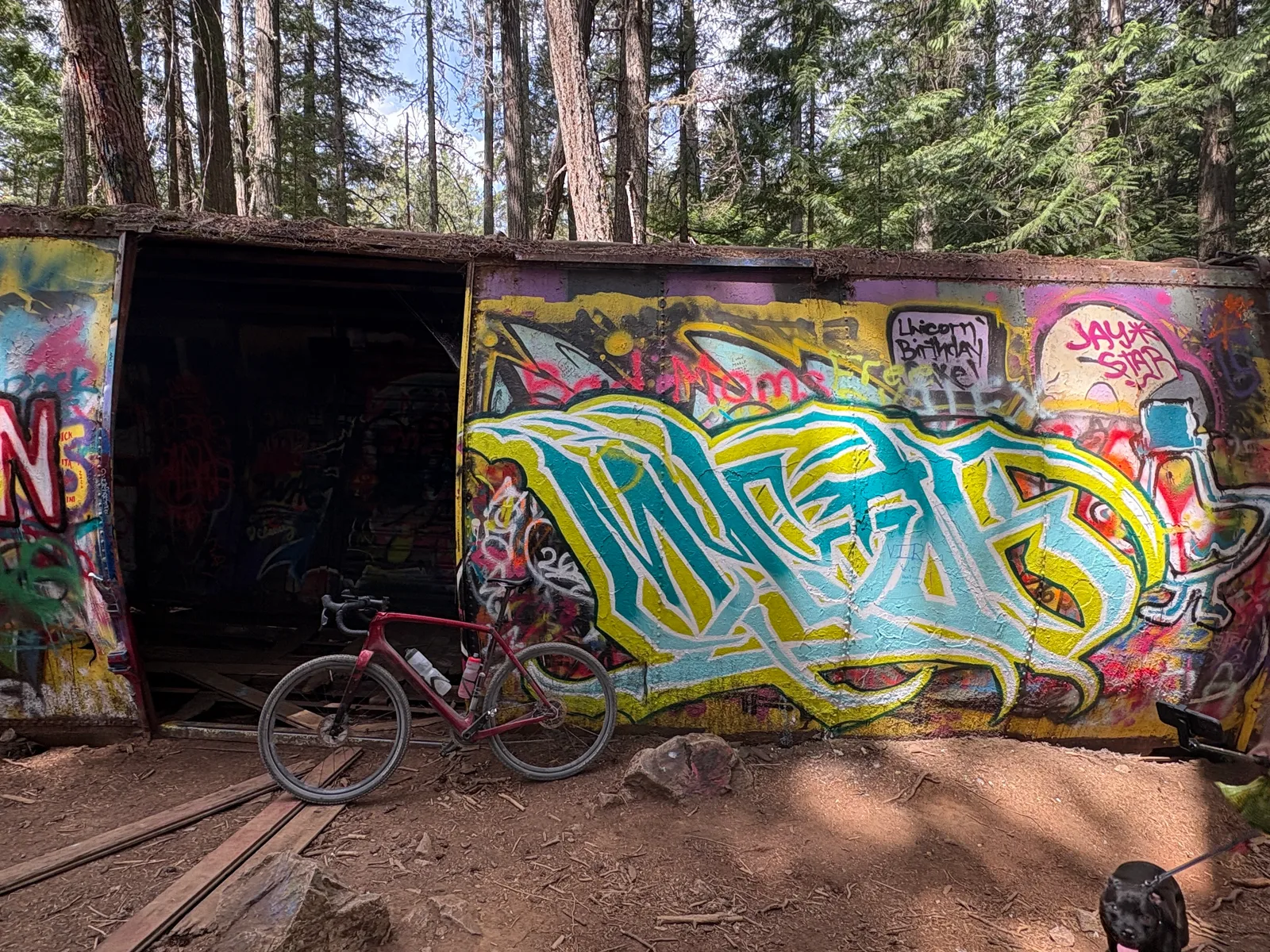
From the train wreckage it's a short climb up into Whistler Village, where I stopped for a break — washrooms, a water refill, snacks, and a bit of a breather before heading back. I'd braced for the return to be hard, but it turned out to be almost entirely downhill and noticeably faster and easier than the way out.
Trail notes
- A rear-facing radar (I use a Garmin Varia) is genuinely useful on the 3-4 km highway shoulder section — it gives you a heads-up before cars come up behind you.
- The hike-a-bike section over loose rock and roots is short but real — expect to dismount and push, not ride, through it.
- Wide tires help on the loose sections: I ran 50 mm up front and 45 mm in the rear on my gravel bike, both closer to mountain bike width than typical gravel width. A hardtail XC mountain bike would also be a comfortable choice here.
- The train wreckage stop draws non-riders on foot — slow down and watch for pedestrians there.
- There's no water along the trail itself, but Whistler Village (the turnaround point) has a refill station — good place to top up before heading back.
- Ride it on a weekday if you can — both Brandywine Falls and the trail itself were quiet for me; expect more traffic on the highway shoulder and more foot traffic at the train wreckage on summer weekends.
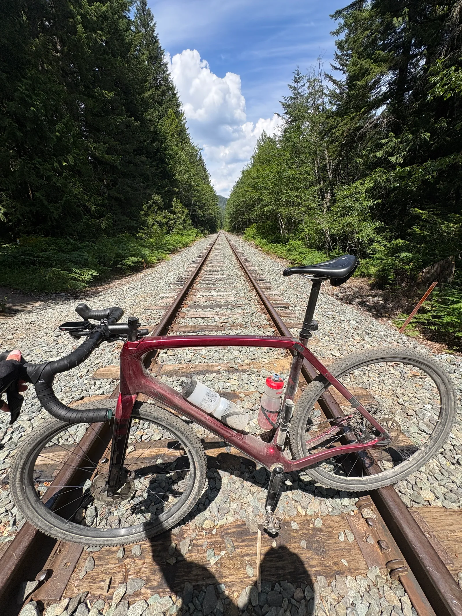
Total time was 3 hours 35 minutes at an easy, endurance pace — I wasn't pushing. For 47.6 km round trip and 882 m of climbing, that works out to an average of about 15.7 km/h, which says a lot about how consistently hilly this trail is. The full Sea-to-Sky Trail runs all the way from Squamish to Whistler, roughly 50 km one-way, so riding the whole thing out and back is next on my list — a considerably longer day than this one.
Highly recommend this ride, especially for the stop at Brandywine Falls. It's not technically difficult overall, just a steady stream of short, punchy climbs — get your climbing legs ready and bring your easiest gears.