 Bearlywild
British Columbia to the Rockies, on foot, on water, on two wheels
Trail-tested trip reports from BC to the Rockies
Real distances, real elevation gain, real conditions — field notes from hiking, paddling, and cycling routes across BC and into the Rockies.
Read the latest reportLatest trip reports
 Hiking
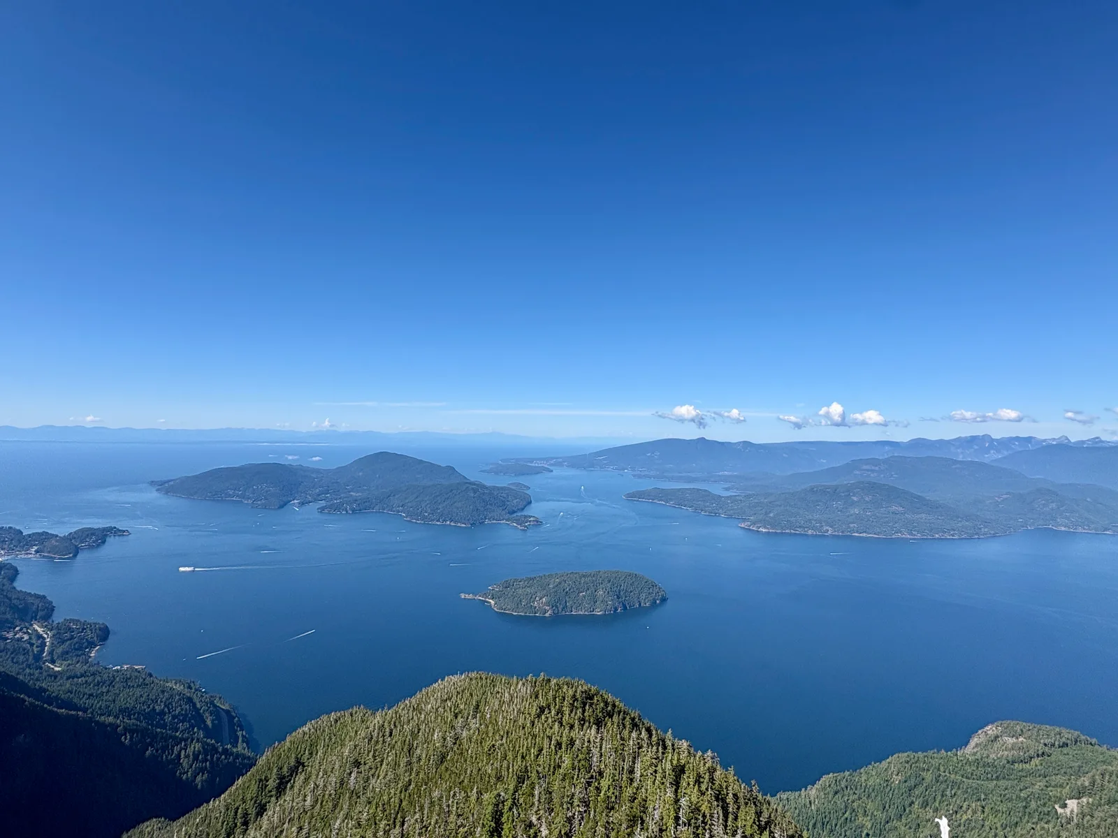
Is This the Best View in Vancouver? St. Mark's Summit at Cypress
A crowded, muddy, seriously worthwhile hike above Howe Sound — and one of the routes North Shore Rescue gets called to most.
 Hiking
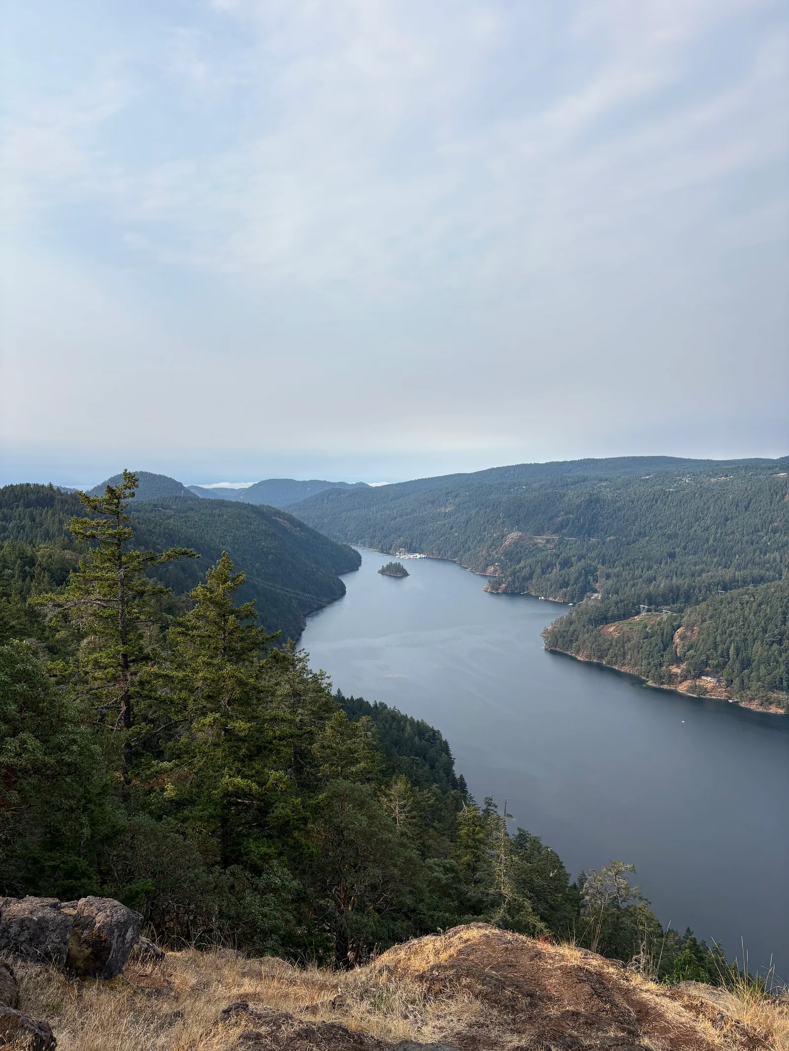
Jocelyn Hill: Big Views for Surprisingly Little Effort
A local's last-day tip turned into one of the best Vancouver Island hikes we've done — a moderate climb through forest that pays off fast with sweeping ridge-top views of Finlayson Arm, no death march required.
 CyclingGravel
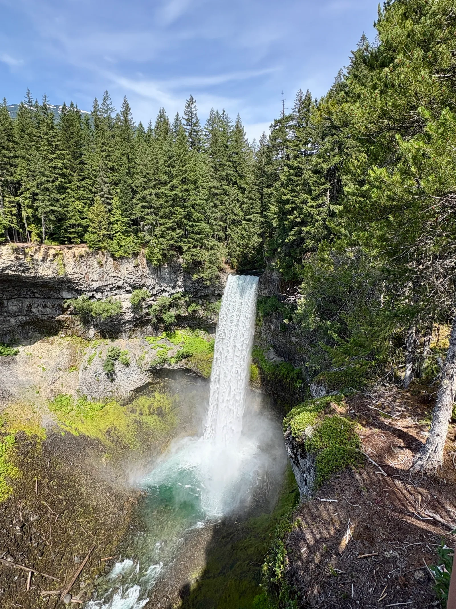
Sea-to-Sky Gravel Trail from Chance Creek to Whistler Village
A hilly out-and-back on the northern half of the Sea-to-Sky Trail — steep singletrack climbs, a hike-a-bike scramble, and a jaw-dropping stop at Brandywine Falls before a fast, mostly downhill return.
 Paddling
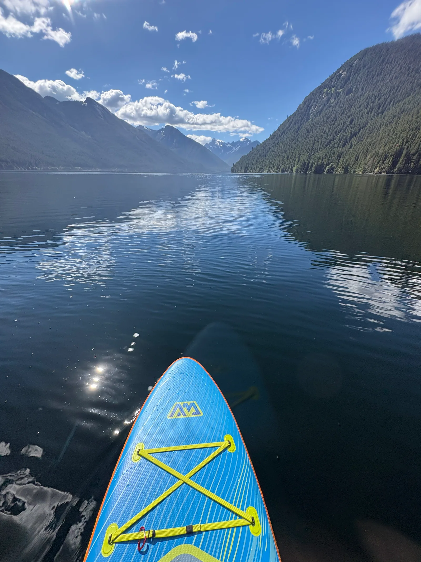
Chilliwack Lake StandUp Paddle
A glassy, mirror-calm launch into the quiet arm of Chilliwack Lake, snow still clinging to the peaks above — followed by a hard lesson in why everyone else stays close to shore once the afternoon wind kicks in.
 Hiking
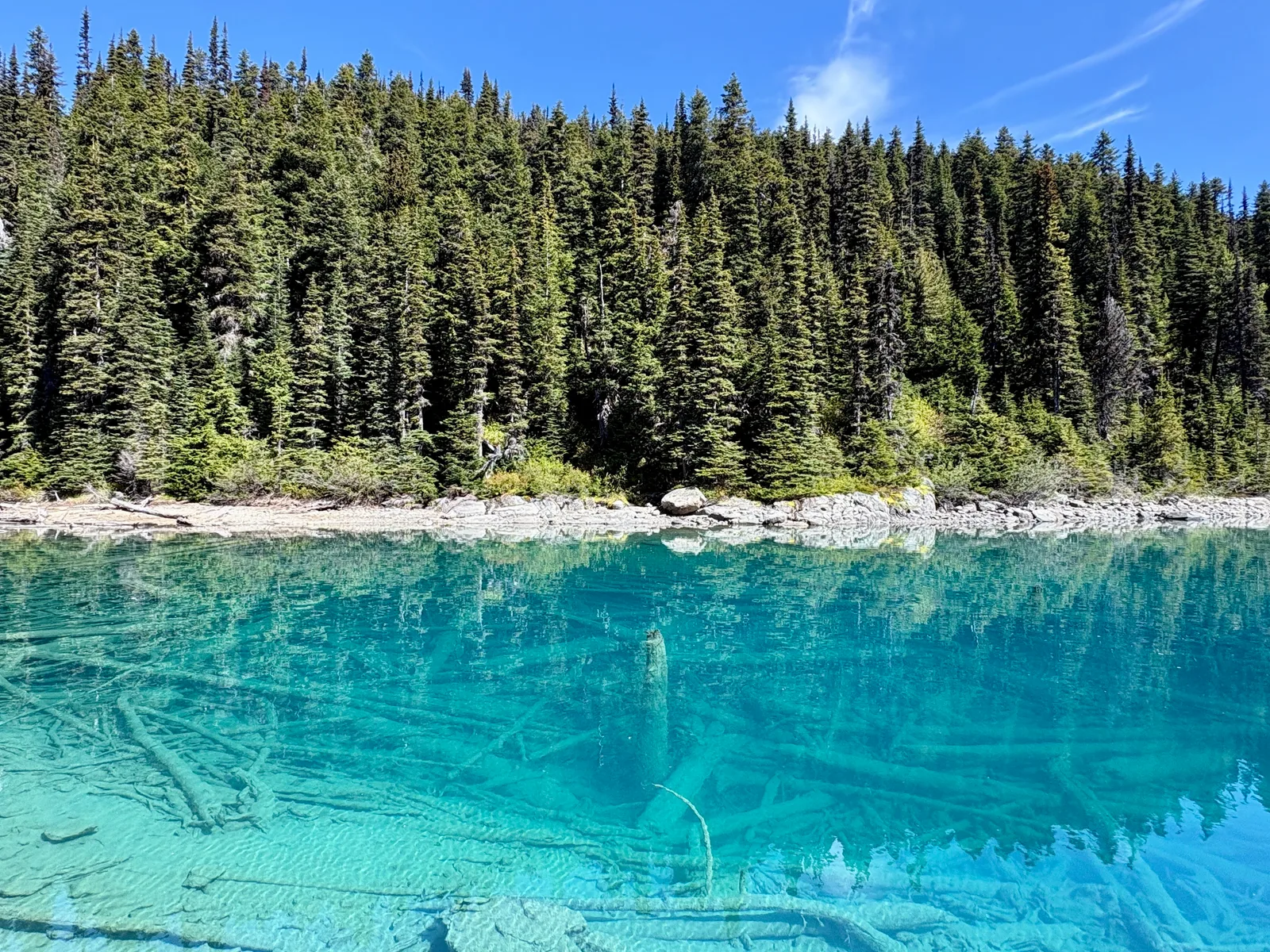
Garibaldi Lake: Beautiful at the Top, Repetitive to Get There
Nearly 20 km round trip through forest that barely changes for the first ten kilometres — the lake at the end is genuinely stunning, but this one is more of a mental test than a physical one.
 Hiking
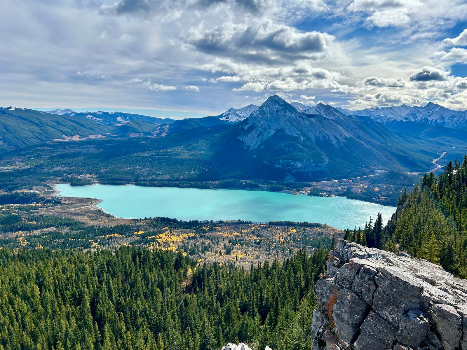
Prairie View Trail, Kananaskis: The Park Everyone Drives Past on the Way to Banff
On our last day out of Canmore, a local's offhand comment sent us to Kananaskis instead of one more Banff stop: an easy forest climb to a ridge above turquoise Barrier Lake, with barely another hiker on the trail.
 Hiking
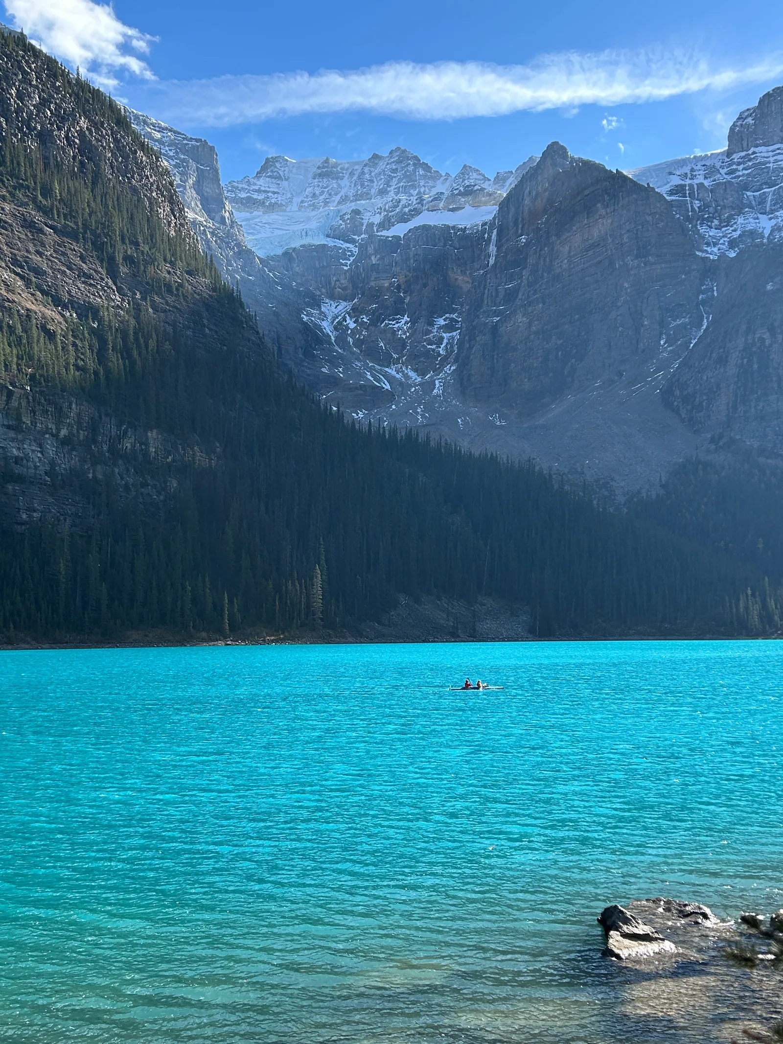
Moraine Lake: The Twenty-Dollar View, Shuttle Required
The second half of our Lake Louise day: a short, easy shoreline walk that delivers one of the most photographed views in Canada, the same Valley of the Ten Peaks that used to be on the back of a $20 bill.
 Hiking
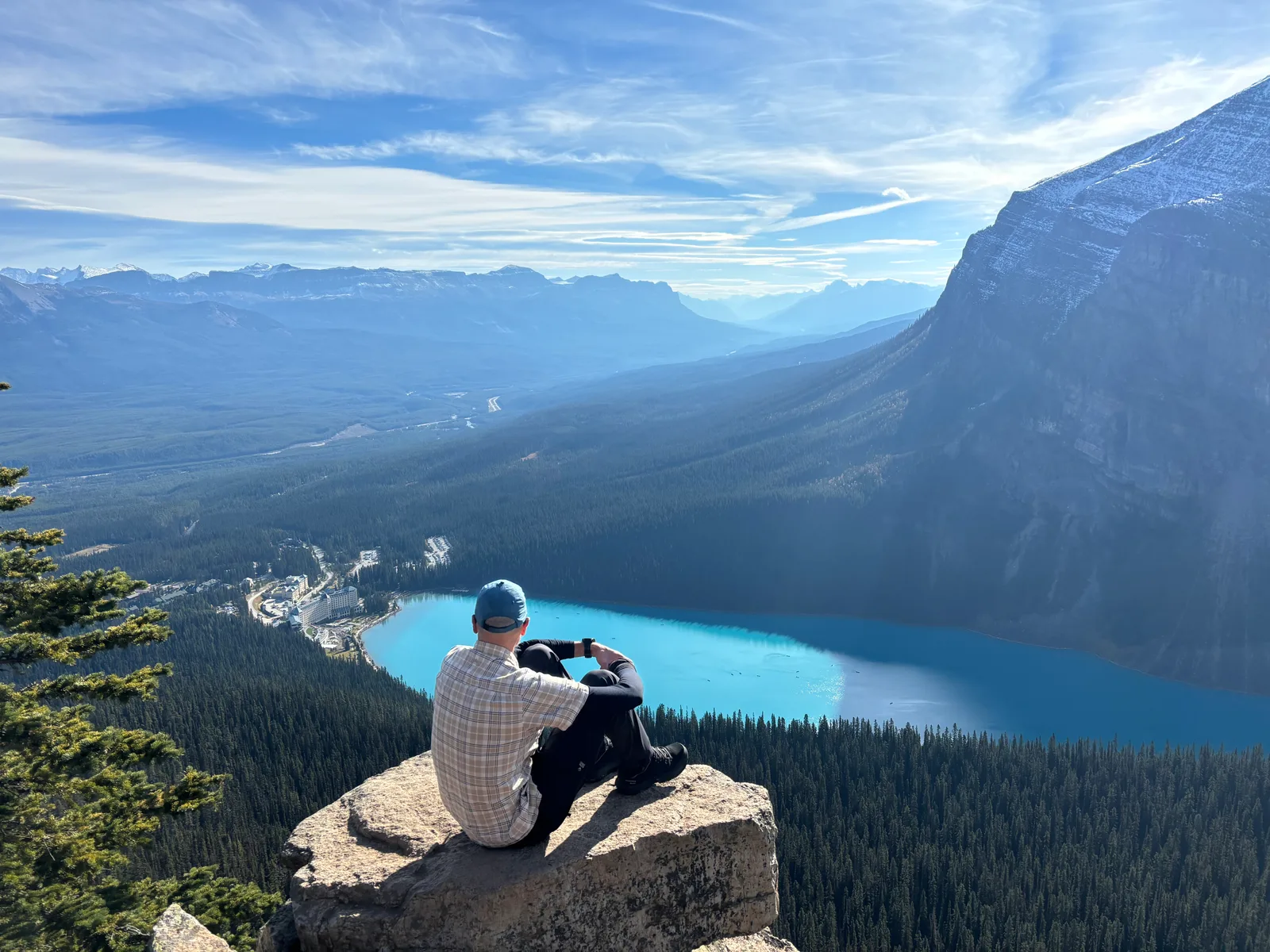
Lake Louise, Lake Agnes and the Little Beehive: Beat the Crowds, Skip the Ice
We had Lake Louise almost to ourselves at sunrise, climbed to Lake Agnes, got turned back by unexpected ice on the Big Beehive, and found an even better view on the Little Beehive instead.