 Bearlywild
Hiking
Moraine Lake: The Twenty-Dollar View, Shuttle Required
October 14, 2024
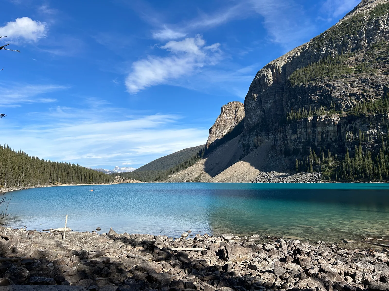
This is the second half of the same October 14th we cover in Lake Louise, Lake Agnes and the Little Beehive: same day, a different lake, and a much easier outing than that morning's ice-forced retreat off the Big Beehive. After finishing at Lake Louise, we caught the shuttle over to Moraine Lake and were on the shoreline by about 1:55pm. The timing turned out to matter: the afternoon sun was hitting the water almost straight on, and the color was hard to believe even standing right in front of it.
Getting there
Moraine Lake sits up a side road from Lake Louise, but you cannot drive it yourself. Since 2023, Moraine Lake Road has been permanently closed to private vehicles: during the season, the only way in is by Parks Canada shuttle, a licensed tour operator, or bike. The road itself only opens seasonally, roughly June 1 through mid-October, and closes the rest of the year for snow and avalanche risk. A few people cross-country ski in during winter. It's about 9 km one-way on the road itself from the winter closure gate, more again if you're starting from the Fairview trailhead, which is on our own to-do list.
We'd already parked at the Lake Louise Park & Ride that morning for the Lake Agnes hike (full parking and park-pass details are in that post). One Parks Canada shuttle reservation now covers a "Lake Connector" between Lake Louise and Moraine Lake, so after finishing at the lakeshore we caught the connector straight over instead of heading back to the Park & Ride first. The connector road climbs steadily, with the Wenkchemna Peaks opening up on the left the whole way. Worth staying awake for.
Permits & access
The same Banff National Park pass covers Moraine Lake as Lake Louise. See our Lake Louise post for current park pass pricing and the Discovery Pass math. What actually gates access here is the shuttle reservation: without one (or a booked tour), there's no way past the road closure on foot or otherwise.
The route
From the shuttle drop-off, the trail to the lakeshore climbs briefly over the rockpile itself, the pile of rock and boulder debris damming the north end of the lake that gives Moraine Lake its name. It's a short scramble, a few minutes at most, and it's the same vantage point that appeared on the back of the Canadian $20 bill from 1969 to 1979, still nicknamed the "twenty-dollar view." From there the trail runs along the shoreline.
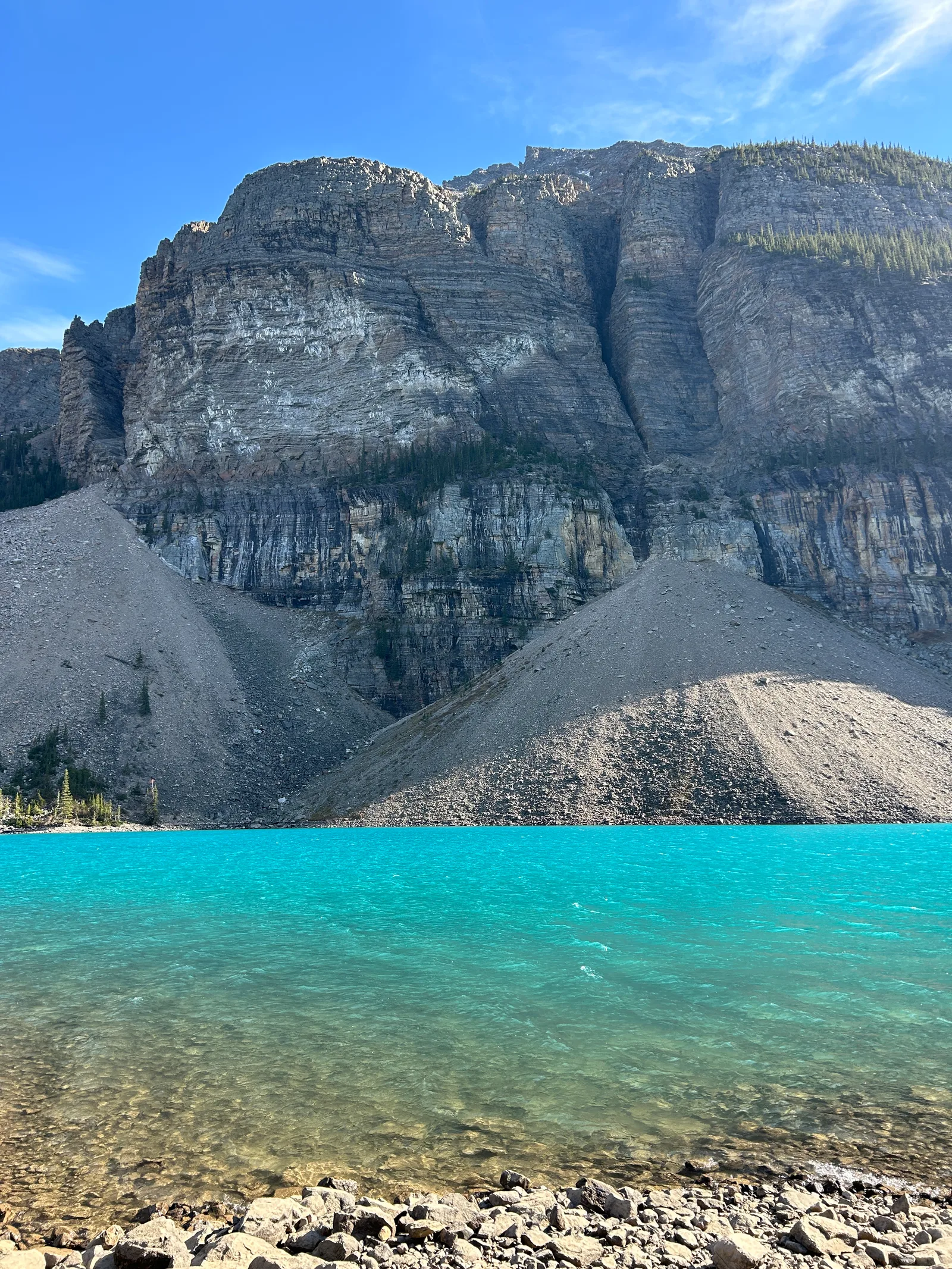
We walked the shoreline trail out and back: 3.3 km round trip, gaining a modest 43 m, in 52 minutes of moving time (closer to an hour once you count the photo stops). Nothing technical, and no crowding issue on the trail itself, even though the viewpoint and parking area were busy. The water color is the real draw: glacial rock flour, fine rock particles ground down by the surrounding glaciers and carried into the lake by meltwater, scatters light in a way that makes the water look lit from within. It shifts through the day as the light angle changes, and 2pm turned out to be a good window for it.
The payoff
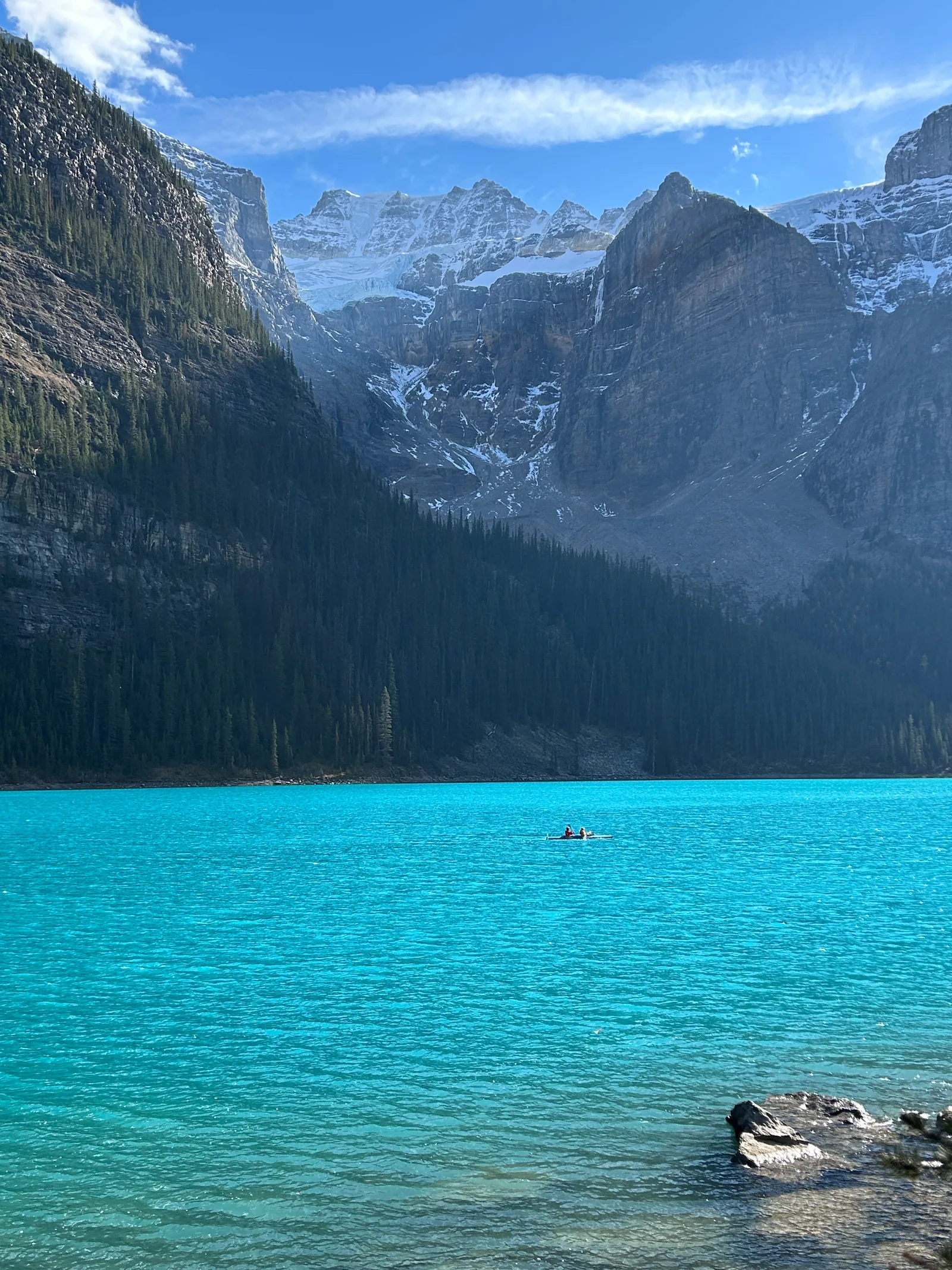
Snow was already dusting the upper peaks, the water was doing its full turquoise-to-teal gradient, and away from the viewpoint crowd the shoreline itself was quiet. Ten out of ten, no hesitation about coming back.
Our one regret: we only did the shoreline walk. There's at least one longer hike into the valley from here. Consolation Lakes is the closest and easiest option at roughly 6 km round trip from the Moraine Lake day-use area; Larch Valley is the bigger outing further up. We didn't have time on this trip, but it's on the list for next time.
Trail notes
- Water: none noted on this stretch of trail, and we didn't need any for a 3.3 km walk. Bring your own if you're continuing further into the valley.
- Facilities: outhouse-style washrooms near the parking area, plus washrooms near the Moraine Lake Lodge trailhead. Moraine Lake Lodge also runs canoe rentals, mid-June through mid-September, first come first served, no reservations.
- Dogs: check before bringing one on the shuttle. Parks Canada and most operators only allow small pets in a carrier on your lap; for a larger dog you'll need a private operator or your own way up.
- Crowds and timing: doing Lake Louise first thing in the morning and Moraine Lake in the afternoon, our order, worked well. Flip it and Lake Louise ends up busier later in the day. Moraine Lake's viewpoint was busy when we arrived around 2pm, but the shoreline trail itself thinned out fast.
- Safety: grizzly bears are regularly reported around the Moraine Lake day-use area, the lakeshore trail, and the Consolation Lakes trail. Check Parks Canada's current bulletins before you go. We didn't carry bear spray on this trip, which in hindsight was a mistake. Parks Canada recommends keeping it somewhere accessible on your body, not buried in a pack, and knowing how to use it before you need to. It's sold in outdoor shops in Banff and Canmore; you cannot fly with it, even checked.
Gear used
Same layers as that morning's Lake Louise hike; see that post for the full list, since nothing changed for this easier, lower-elevation walk. The one gap was bear spray, worth fixing before the next trip into bear country.
Ten out of ten for Moraine Lake, and pairing it with Lake Louise in the same day, sunrise at one lake and afternoon light at the other, is a combination we'd repeat exactly as is. Next time, we're setting aside a few extra hours for Consolation Lakes.