 Bearlywild
Hiking
Prairie View Trail, Kananaskis: The Park Everyone Drives Past on the Way to Banff
October 17, 2024
Every local we talked to in the Bow Valley said some version of the same thing: thousands of people drive past Kananaskis Country every single day on their way to Banff, and most of them have no idea what they're missing. We heard it enough times on this trip that we got stubborn about testing it. On our last full day out of Canmore, after four straight days at Lake Louise, Moraine Lake, Peyto Lake, and Emerald Lake, we checked out of our hostel and drove to a Kananaskis trailhead instead of squeezing in one more Banff stop.
Kananaskis isn't a national park, and that explains a lot
Kananaskis Country isn't Banff, and it isn't a national park at all. It's a roughly 4,000 km² network of Alberta provincial parks, wildland parks, and public land that Premier Peter Lougheed dedicated in 1978, after a public survey drew more than 48,000 responses in favour of protecting the area and, so the story goes, a helicopter flight over the Kananaskis Lakes sealed it for him personally. Part of the new land, originally named Kananaskis Provincial Park, was renamed Peter Lougheed Provincial Park in 1986 in his honour (Alberta Parks, CPAWS Southern Alberta).
That "not a national park" distinction turned out to explain most of what makes it feel different from Banff. No Parks Canada shuttle system, no timed-entry reservation, no lakeshore lot that fills before sunrise. You drive in, you park, you hike.
The name itself predates all of that by more than a century. Captain John Palliser named the area during his cross-Canada expedition in the 1850s. Depending on which source you read, Kananaskis is either a Cree word for something like "meeting of the waters," or it comes from Kin-e-a-kis, a warrior in local lore said to have survived an axe blow to the head in a fight over a woman (explorecanmore.ca). Both explanations get repeated often enough that nobody seems fully certain which is correct. What isn't in question is that people were here long before Palliser: Alberta Parks puts the archaeological record at more than 8,000 years, and the land carries deep, ongoing connections for the Niitsitapi (Blackfoot) Confederacy, Îyârhe Stoney Nakoda Nations, and Tsuut'ina Nation.
Getting there
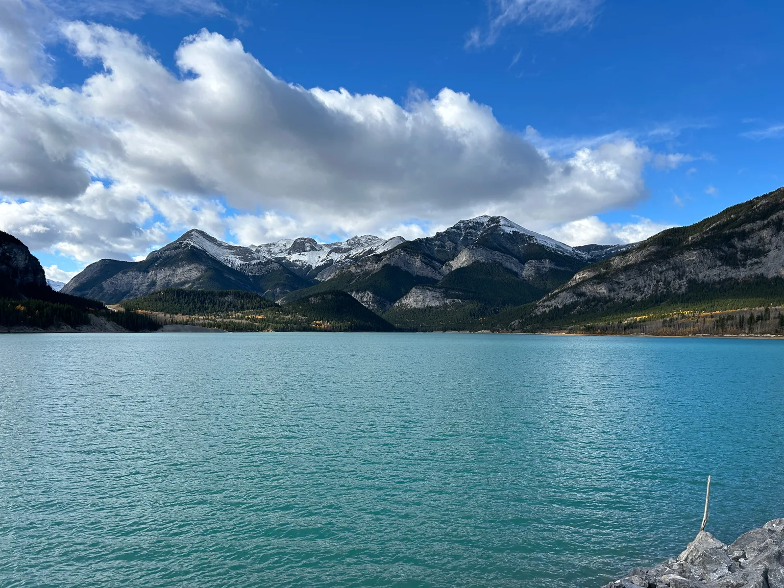
The Prairie View trailhead sits in Bow Valley Provincial Park, at the Barrier Dam day-use area, right on the shore of Barrier Lake, the turquoise reservoir Calgary Power (now TransAlta) dammed for hydroelectric power back in 1947, three decades before Kananaskis Country existed. That's the "beautiful turquoise lake" we parked next to.
It's about 80 km from Calgary, roughly an hour to an hour and 15 minutes depending on traffic out of the city. Coming from the Banff/Lake Louise side, it's about 35 minutes southeast of Banff and only 20 minutes from Canmore, which is why it's easy to drive straight past on Highway 1 without a second thought: it's on the way, not a detour. Barrier Dam has a large paved parking lot, plus vault toilets right at the lot.
Permits & access
Unlike Banff, there's no park entrance fee here. What you do need is a Kananaskis Conservation Pass, required for any vehicle parked in Kananaskis Country or the Bow Valley (which includes Barrier Dam). It's $15/day or $90/year, and the pass is tied to your license plate rather than to a person, so it effectively works as a vehicle pass, not an individual one. An annual pass covers up to three vehicles registered at the same address. Buy it online in advance and register your plate; parking without one risks a $150 fine (alberta.ca, Friends of Kananaskis Country). Prices and terms change, so check the current numbers before you go.
The route
From the Barrier Dam lot, Prairie View follows an old forestry road, so the tread is wide, obvious, and easy to follow the entire way: no route-finding required. It climbs steadily through forest almost from the first step, gaining most of its elevation gradually rather than in one brutal pitch. It never gets steep enough to feel like a grind, just a consistent, moderate uphill with the trees opening up for the occasional view back down the valley.
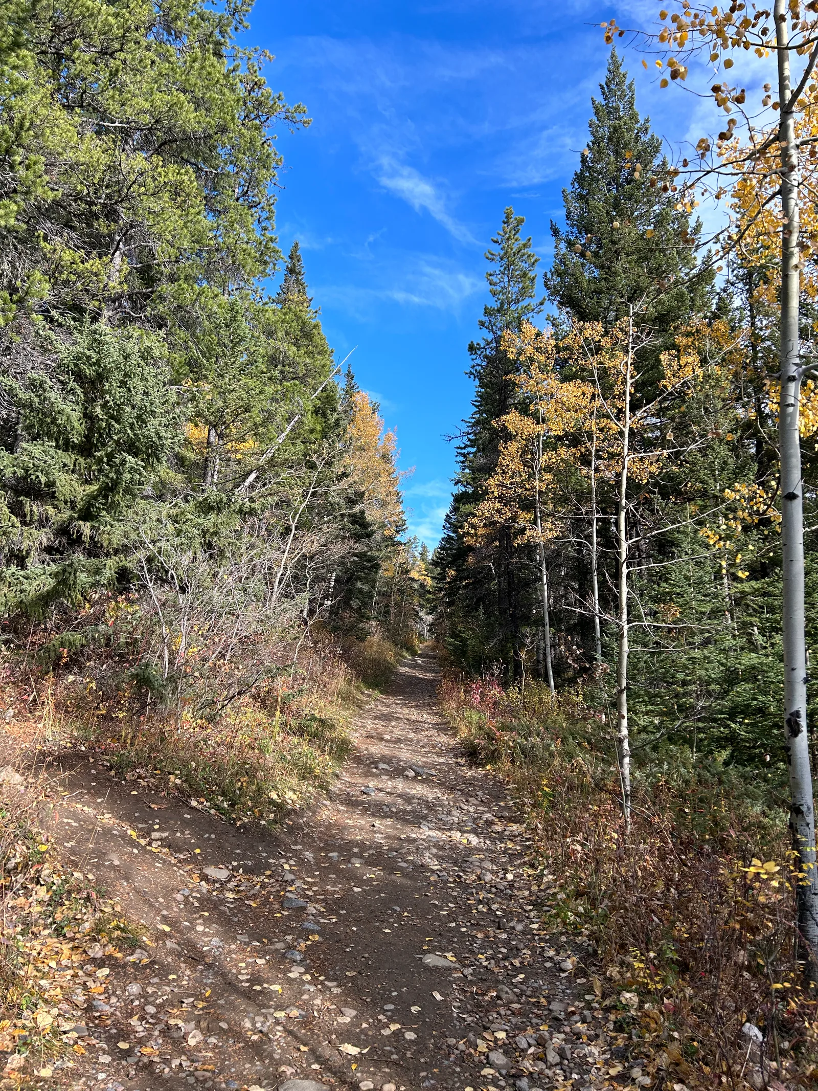
We started at 11:48am on a Thursday. It was mid-October and quiet: we didn't pass another hiker for a long stretch, which, combined with thick trees on both sides and zero visibility more than a few metres off the trail, had us more on edge about a surprise grizzly encounter than we expected to be. More on that below.
By our own count it took about an hour and twenty minutes to reach the ridge, roughly 5.7 km one way (not the 4 km we guessed out loud while catching our breath: Strava says otherwise). We climbed from about 1,380 m at the parking lot to just over 1,880 m at the viewpoint, a gain of 527 m. Strava's numbers back up the feel of the day almost exactly: 2 hours 41 minutes of moving time total, with only 23 minutes stopped, nearly all of it at the top.
The payoff
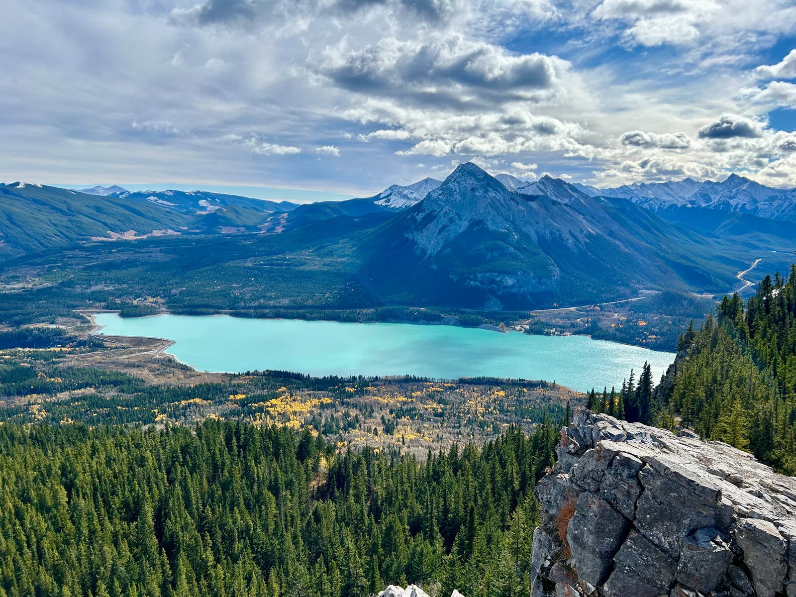
The ridge opens onto a view straight down over Barrier Lake, with the Kananaskis valley and a wall of peaks behind it. After several days in Banff, we went in half-expecting Kananaskis to be a lesser version. It wasn't. Different lake, different angle, but the same category of view.
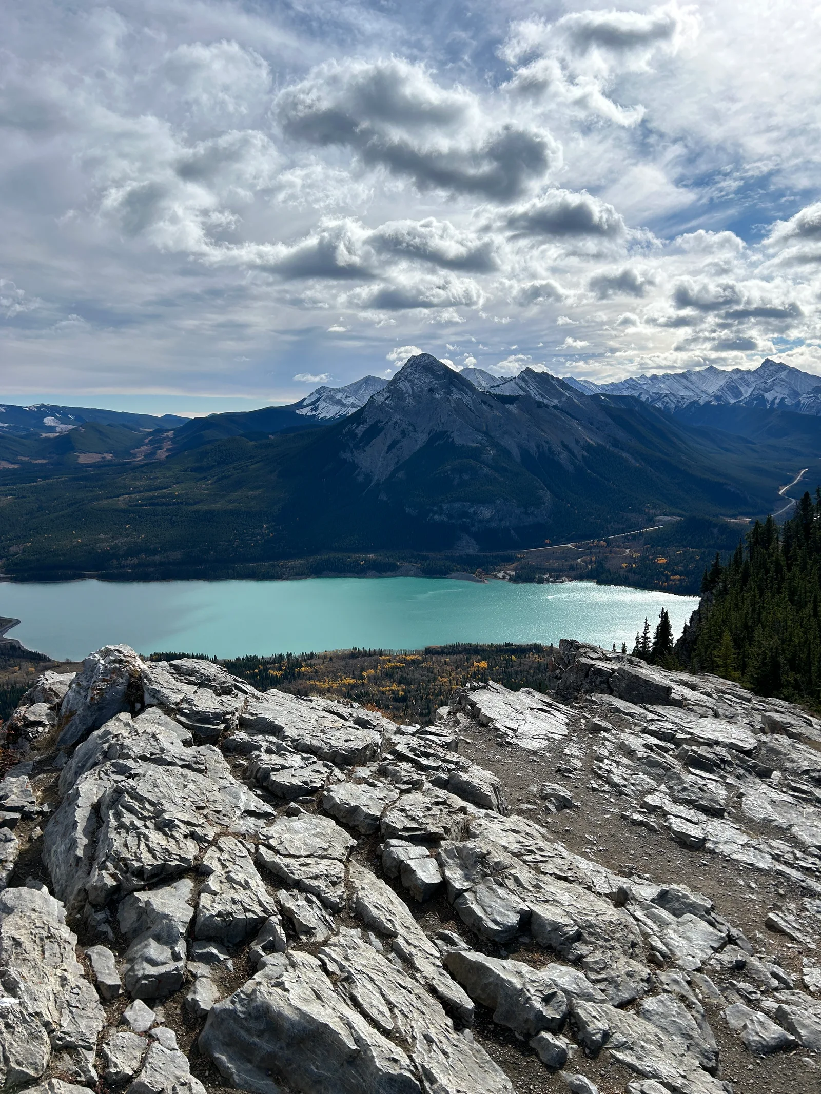
We spent close to half an hour up there: snack, photos, and just sitting with the view before the temperature reminded us it was October. The wide shot below, looking down the length of Barrier Lake toward the Trans-Canada corridor, is the one that convinced us the local's comment about Kananaskis wasn't hype.
The way down took about an hour and twelve minutes, noticeably faster than the climb but on the same easy-to-follow forestry road, so there was no need to rush or watch our footing closely. We were back at the car by mid-afternoon.
Trail notes
- Water: no potable water sources on the trail. Bring what you need for the full round trip.
- Facilities: vault toilets at the Barrier Dam parking lot, none on the trail itself.
- Dogs: allowed, on a leash no longer than 2 m, per Alberta Parks regulations for provincial parks and public land (albertaparks.ca/dogs).
- Crowds and timing: we saw almost nobody on a Thursday in mid-October. That's very likely seasonal and day-of-week as much as it is Kananaskis being inherently quieter than Banff. We wouldn't assume the same solitude on a summer weekend.
- Safety: grizzly bears are active in the Bow Valley/Kananaskis area, and this trail is mostly enclosed forest with limited sightlines. We hiked it without bear spray, which in hindsight was a mistake given how uneasy the quiet, low-visibility stretches made us. Alberta Parks recommends carrying bear spray somewhere accessible on your body (not buried in a pack), making noise as you hike, and checking current advisories before you go. It's sold in outdoor shops in Canmore and Calgary; it cannot be carried on a plane, even checked.
Gear used
Nothing specialized for this one. Regular hiking boots and layers were enough for an October day on a forest trail with no exposed scrambling. The one real gap, and it's the same lesson we keep relearning in bear country: no bear spray. We're fixing that before the next Kananaskis trip.
We went in wondering if Kananaskis could really stand next to Banff, and Prairie View settled it for us in one afternoon: same quality of view, a fraction of the people, and none of the shuttle-booking logistics. We came back to Kananaskis twice more after this, once in late fall and once in winter, and both were even better. That's a story for another post.