 Bearlywild
Hiking
Jocelyn Hill: Big Views for Surprisingly Little Effort
August 16, 2026
It was our last day on Vancouver Island before heading back to Vancouver, and a local we'd talked to had recommended Jocelyn Hill as one of the best views around — we were a little skeptical, but figured we had time to check it out. We checked out of our Airbnb around 8am and drove straight to the Gowlland Tod Provincial Park trailhead. It had just opened, and we were the first car there. We started hiking at 8:37am.
Permits & access
Parking at the trailhead is free. We got there right around opening and had the lot entirely to ourselves — first car of the day. No permit or reservation came up.
The route
The trail starts on the right-hand side of a map board near the parking lot.
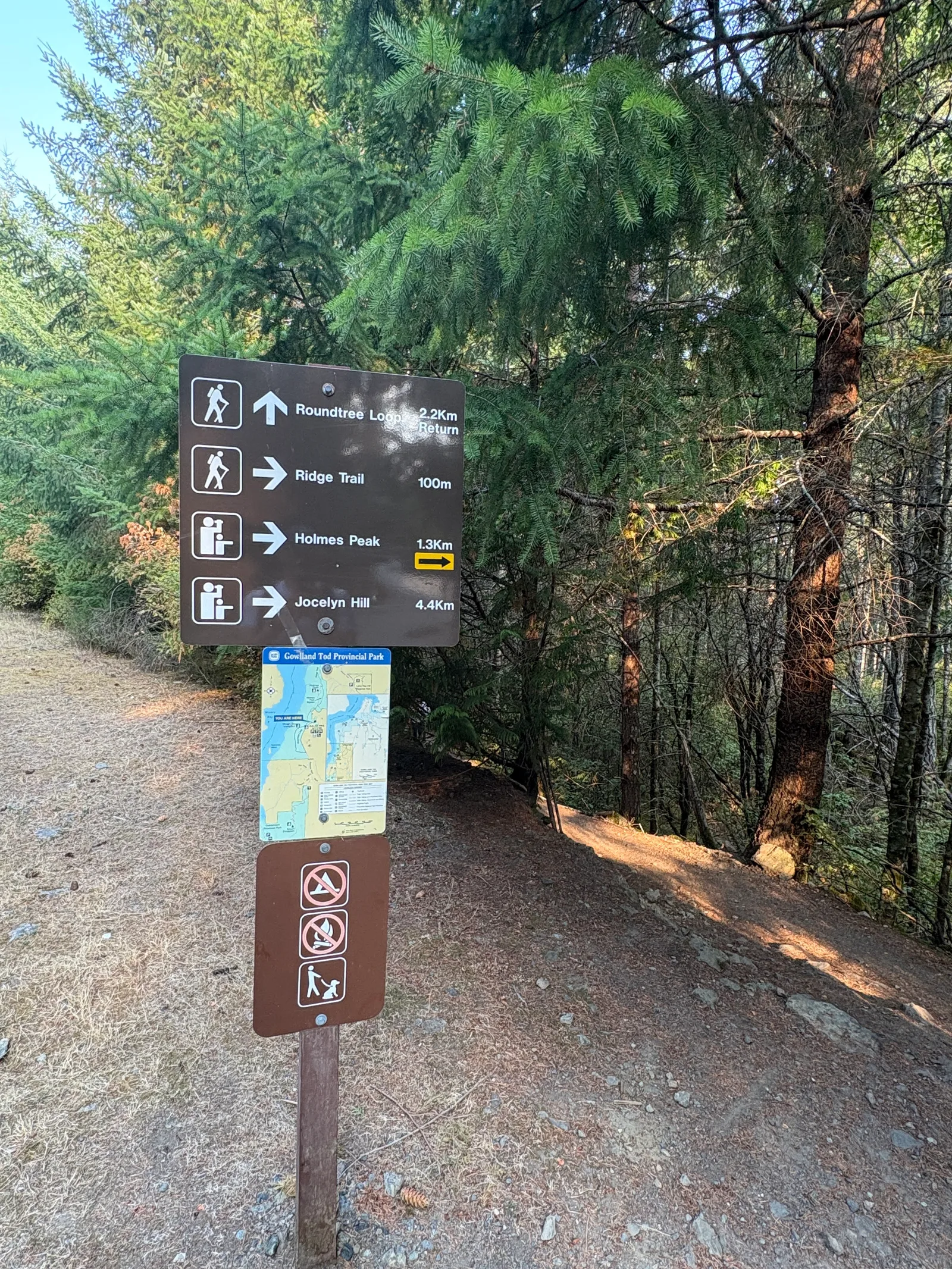
Not far in there's a junction marked with just an arrow — no trail name, easy to miss. We walked straight through it the first time, caught the mistake on a watch GPS, backtracked, and took the turn to the right. From there the trail wanders through forest — some flat stretches, some up and down.
Then it starts to climb — a pleasant grade, never brutal. We passed three trail runners coming the other way. After a sustained climb, the trees open up and you gain the ridge, and that's where the views turn dramatic.
The payoff
From the ridge you look straight down Finlayson Arm — genuinely incredible, the kind of view that makes you feel small. The trail keeps going along the ridge for a while, with more standout views of the sea, the mountains, and the ridge on the opposite side the whole way.
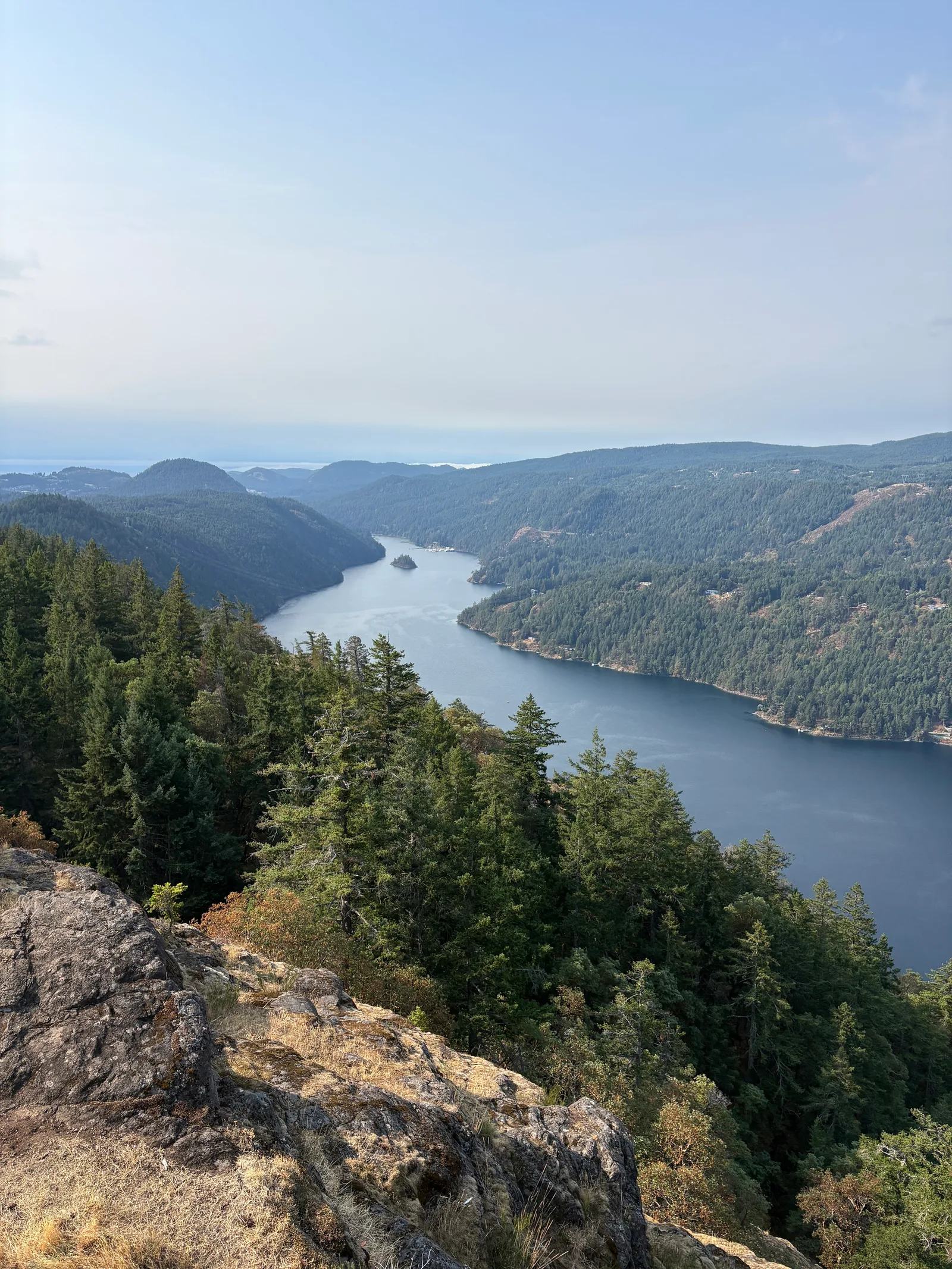
Watch the view from the ridge →
We stopped at the end of that ridge stretch for a snack — maybe 20 minutes, sandwiches and a rest, taking it in. From there you get two options: turn around and go back the way you came, or continue on the signed Roundtree Loop, which drops to the back side of the ridge and reconnects with the original trail lower down in the forest.
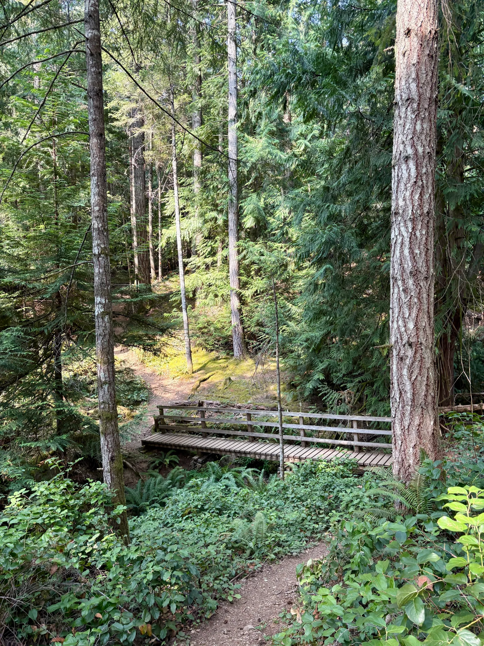
We took the loop, mostly out of curiosity. That's the one thing we'd do differently. Once you leave the ridge you lose the ocean views for good — the forest on the back side is fine, but after what you've just seen, it feels like a letdown. The loop eventually rejoins the original trail well below the ridge, crossing a footbridge along the way. Closer to the trailhead we started crossing a lot more people than we'd seen all morning, and got back to the car around 11:53am to find the lot nearly full.
Trail notes
- The unmarked junction early on is just an arrow with no trail name — easy to blow past. Keep an eye on GPS or the map board (photo above) rather than relying on trail signage alone.
- If you want to end the hike on the views, skip the Roundtree Loop and just return the way you came — the loop trades the ocean/mountain views for plain forest on the way down.
- We had the lot to ourselves at opening and only passed three trail runners on the way up — it filled in fast, though, and by the time we got back late morning the trail was busy and the lot was nearly full. Go early if you want it quiet.
Overall: this is one of the best view-to-effort hikes we've done. You don't have to suffer to get the payoff — compare that to Garibaldi Lake, where you grind through 10 km of repetitive forest before the lake even shows up. Jocelyn Hill gets you dramatic ridge views quickly, and the terrain keeps changing the whole way. Five out of five — we'll be back next time we're on the Island. Next time, we're skipping the Roundtree Loop and just walking back out the way we came.